Tarryall Creek
Tarryall Creek is a high alpine stream that begins on Mount Silverheels, just North of Fairplay Colorado. From here, the creek descends Southeast, eventually paralleling County Road 77 (Tarryall Road) for several miles before entering Tarryall Reservoir. The upper section of Tarryall Creek is 10-20 feet wide and comprised of a variety of riffles, runs and pools. This section of Tarryall is a Freestone River, making it very susceptible to runoff or low water conditions, but during peak Summer months can offer some great dry fly fishing for small Brown Trout.
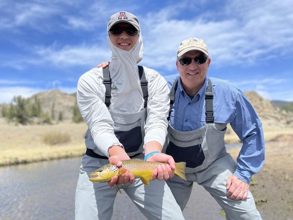
Below Tarryall Reservoir, there is a few-hundred yard section of public access before the river becomes largely private. North Fork Ranch Guide Service is lucky to offer exclusive fishing access to Tarryall Land and Cattle Ranch, a two mile section of Tarryall Creek directly below Tarryall Reservoir. This section of Tarryall Creek is a meandering, ox-bowed meadow stream with numerous deep pools and undercut banks that offer holding water for a surprisingly high number of fish. Several rounds of extensive stream work have been completed on Tarryall Land and Cattle Ranch, helping to improve aquatic bug life and ensure trout have ample water to overwinter and grow to maturity.
Past Tarryall Land and Cattle Ranch, Tarryall Creek continues as a small oxbow stream for many miles through mostly private land, although there are a few public access stretches interspersed. Tarryall Creek eventually flows into South Platte River a few miles upstream of Cheesman Reservoir.


